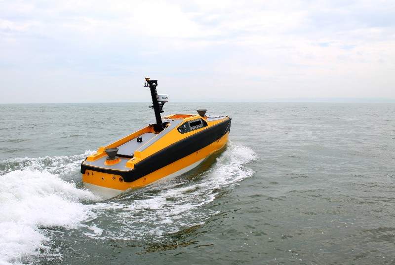
The UK Hydrographic Office (UKHO) has conducted a study to identify the future data requirements for autonomous shipping in partnership with unmanned and autonomous marine systems supplier L3 ASV and Maritime and Coastguard Agency (MCA).
The study explored how navigational and larger geospatial data can support the safe navigation of smart and unmanned autonomous vessels.
Funded by the UK Department for Transport-Technology Research Innovation Grant (T-TRIG), the study initially examined the content, structure and updating procedure of existing navigational data and charts.
The study then analysed how the data could be repurposed to create a prototype ‘Smart Chart’ system, which will feature various information such as radio signals, regulations, tides and foundation navigational data that can be interpreted by a computer without using an on-board crew.
UKHO Research, Innovation and Integration head Mark Casey said: “A wealth of marine geospatial data, from bathymetry depicting the seafloor to the speed and direction of the tides, supports navigation across our oceans.
“For over 200 years, the UKHO has sourced, processed and supplied this information to shipping and defence to help keep mariners safe at sea. We have developed our expertise in sourcing and processing this location-based information to help others better understand the marine environment.”

US Tariffs are shifting - will you react or anticipate?
Don’t let policy changes catch you off guard. Stay proactive with real-time data and expert analysis.
By GlobalData“With our expertise and knowledge of data required for safe navigation, we are well-placed to help our partners identify the data requirements and standards needed to support the use of autonomous vessels of the future.”
UKHO primarily collects and provides hydrographic and geospatial data both for the Royal Navy and merchant shipping in order to help protect lives at sea.


